We offer the following services:
Data acquisition, capture, and management
Geoprocessing and spatial analysis
2D/3D/4D map and graphics production
GIS project setup, system development, and management
Data compilation from diverse sources
Custom cartography
Workflow automation and application development
Database design
Web development (AGOL, Portal)
Dashboards, story maps, experiences, map viewers
Network analysis
Maps for Adobe Creative Cloud
Migration to ArcGIS Pro: We specialize in guiding organizations through the transition from ArcGIS Desktop to ArcGIS Pro, ensuring a smooth, efficient migration of geospatial workflows, data, and tools. Our team offers expert support in updating scripts and models, redesigning workflows for the Pro environment, and training staff to maximize the platform’s capabilities. Whether you're modernizing internal processes or meeting evolving Esri requirements, we help you unlock the full potential of ArcGIS Pro with minimal disruption.
GeMS capabilities: We provide specialized geologic data solutions aligned with the USGS Geologic Map Schema (GeMS), ensuring full compliance with federal data standards. Our team has extensive experience supporting government agencies in the production, conversion, and management of geologic map data that is accurate, interoperable, and publication-ready. From contract-based mapping projects to legacy data modernization, we deliver reliable, standards-based products that meet the rigorous requirements of public-sector geoscience initiatives.
Geo Interpretive Solutions, LLC, provides GIS services that empower organizations to collect, analyze, visualize, and interpret spatial data. Our products help reveal patterns, relationships, and trends critical for informed decision-making. By merging geography with technology, our GIS innovations tackle complex challenges, such as predicting climate change effects, optimizing resource management, and enhancing public safety. These products enable the integration of various data types to generate actionable insights, fostering more sustainable and efficient planning and development.
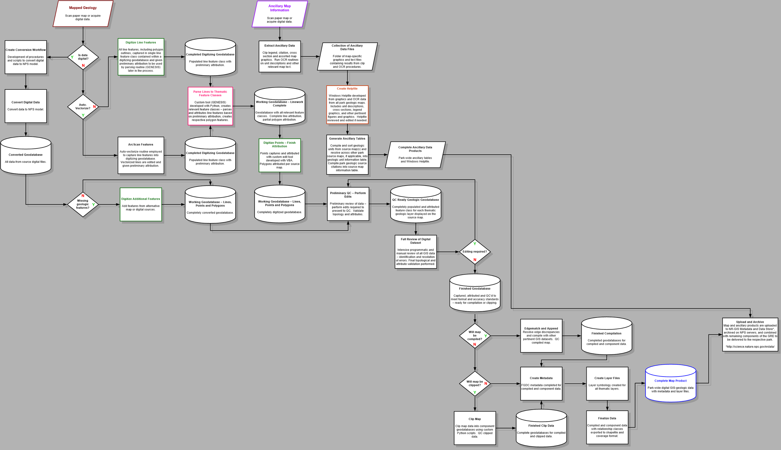
Layer of Proterozoic biotite schist (Xs) exposed at Longs Peak, Rocky Mountain National Park. Credits: Google Earth, Braddock and Cole (1990), Chappell, Colorado State University (2013)Geology at Glacier National Park draped over elevation and imagery data. Credits: Google Earth, Whipple (1992), Chappell, Colorado State University (2011)Illustration of geology at Grand Canyon National Park draped over DEM showing lava dam created by Quaternary volcanics. Credits: Billingsley, et. al. (2000 - 2013), Chappell, Colorado State University (2014)Python code for producing product documentation from project spreadsheets and template files. Credits: Chappell and Winter, Colorado State University (2017)National Park Service Geologic Resources Inventory product development workflow diagram. Credits: Chappell, Colorado State University (2006)


